Practical Exploration Geology III - Adit Re-opening
In July Mineco’s PDT started the exploration programme on the newly acquired Rajkovici-Seliste-Celebici (“RSC”) exploration concession located in South East Bosnia adjacent to the operating Supla Stijena mine across the border in Montenegro. Whilst the area had been subject to relatively extensive exploration, both during Yugolsav times and much earlier, there is very limited historical reference material available.
During the first exploration phase, the field mapping stage, the PDT were required to locate as many old exploration adits (“tunnels”) as possible. When Mineco acquired the concession it was understood that there were 11 adits, by the end of this phase 37 had been identified! We consider this to be a vital stage of the initial exploration of any new concession. Opening old exploration adits is a very cost effective and quick way to understand the geology and specifically the mineralisation present; especially in and locations with extensive soil cover that hampers surface sampling.
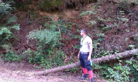
In RSC very few of the adits were still open, the entrances to most had collapsed and were surrounded by thick vegetation. The team looked for subtle topographic and morphological variations; unnatural water seepage, old access tracks and waste dumps to identify potential adits. Additional the local population were interviewed and the team were led to locations.
Once an adit was located the PDT marks its location with GPS, measure the azimuth, photograph the site and issue an identification number. At this point the responsibility is handed over to the Mining & Safety team to ensure that the adit is safe for the geologists to enter and conduct their work.
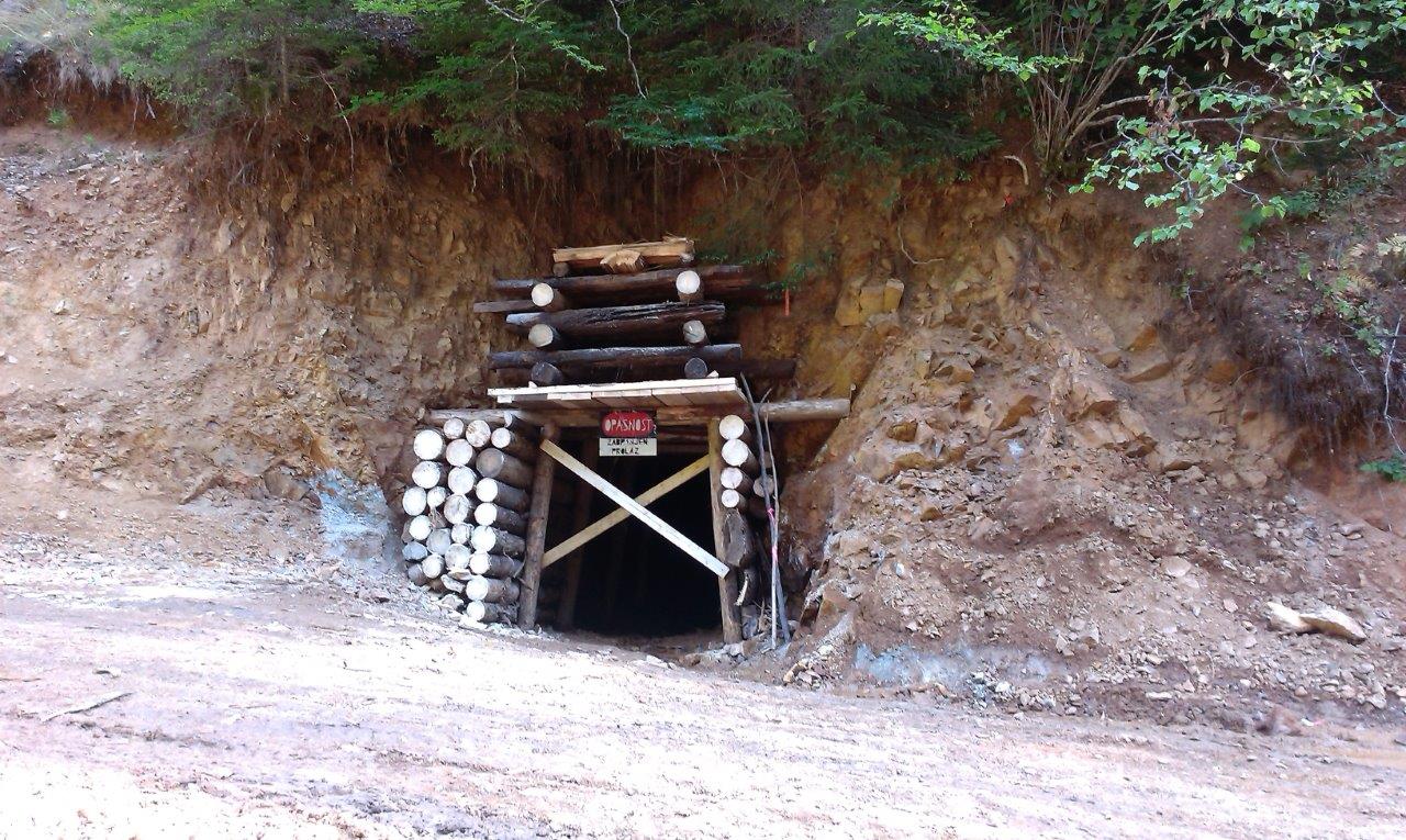
Supervised by the PDT Senior Mining Engineer a team of 10 miners deployed to RSC in August for two months. Most of the adits were deep in the mountains and forest without road access preventing the use of mechanical diggers. The miners initially cleared the entrance of vegetation and soil before shoring up the opening with wooden support. The adit was then drained and under the direct supervision of the Senior Mining Engineer the whole length of the tunnel was inspected and areas requiring additional support were marked. The miners then completed, by hand, the ground support works to shore up unstable areas and “scaled” (knocked off weak rocks with iron bars) the walls and roofs.
After a final inspection by the Senior Mining Engineer the adit was handed back to the geologists for detailed mapping and sampling. The geologists map the rock features (rock type, alteration, mineralisation etc) measure mineralised zones, veins and faults. The sampling methodology is agreed by the team and channel samples are taken throughout the adit.
The opening of historic exploration adits is one of the most effective ways to quickly understand the geology and gain an important “3D” perspective.


